

Paper Maps – Road Atlas Books
So an interesting story popped up in Moscow Russia last week and it really piqued my interest. For reasons not completely explained publicly, The Russians turned off most internet access in and around Moscow.
Initially it was assumed this was the result of some kind of Ukrainian hacking attack. And then people started to surmise that the Russians fearing some kind of coup plot, sought to disable comms and coordination amongst plotters.
And then word started to get out that the entire internet wasn’t down. Mostly apps. Specifically any app that had communication and navigation inside of it.
Interestingly enough, the Russians left food delivery apps functioning and probably some basic navigation within those apps.
The takeaways for me:
Maybe the Russians feared the Ukrainians were using local internet to navigate terminal phase in drone attacks around Moscow? Maybe they were fighting off some kind of coup? But what is certain is millions of locals were left in the navigational dark since they all relied on mobile apps for maps.
If it can happen there, it can happen here. Especially the need to shutdown navigation during an emergency. Read drone attacks inside the US by non-state actors / terrorists.
Being in my 50’s, I distinctly remember always having paper maps and atlas’ in our cars. Well, what is old is new again and I decided I wasn’t going to get caught on the back-foot here.
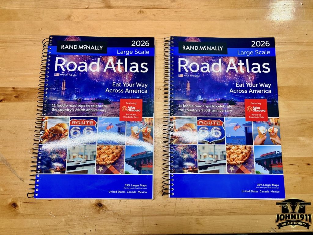
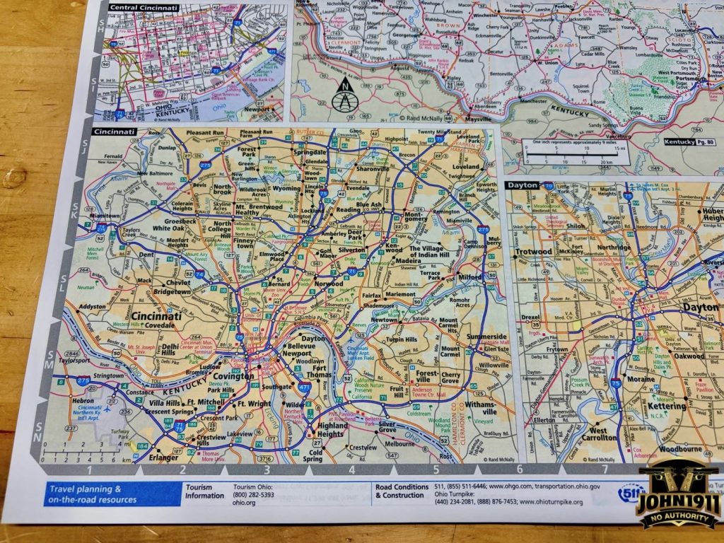
I bought two large font, 50 state atlas maps. And I also purchased small folding maps for the East Coast and Central United Stated. Two each. Basically enough to cover having to get to and from the 4 corners of the US, east of the Mississippi: Chicago, Texas, Maine & Florida.
Why two sets? Simple. If comms go down and there is a need to move across a large area of the US, there is a very good chance you will have a need for a second set. Be it for extended family members / friends to help them.
Or…possibly from the need to split up temporarily and then agree to come back to together at a later date and location. Think maybe sending the wife and kids down south, while you peel off and head north to get your elderly grandparents.
Whatever the scenario, you’ll wish you had two sets of maps.
Final thoughts. I am not a big prepper. Or more specifically a bug-out person. But you don’t need a WWIII scenario to envision a situation where phones and navigation are down, and you want to avoid masses of people / traffic backups at major thoroughfares.
Maps are cheap. Easy. And even offer large-fonts for us old guys. Toss a set or two in the back of your vehicle with your roadside jack and crappy lug wrench. No big deal.
Sincerely,
Marky
www.John1911.com
“Shooting Guns & Having Fun”

Areas of focus: Defense and National Security, Modern Light Weapons, Small Arms, Weapons Training.
- Tarter FS20 – The Tick Killer - July 24, 2026
- Ruger Red Label - July 22, 2026
- Broken Lane Shark – Lessons Learned - July 21, 2026


